A strong El Nino is shaping this winter. Here is what forecasters expect where you live
The federal government’s seasonal forecasters released their winter outlook in mid-October, and the story this year is El Nino. A strong one is underway in the tropical Pacific, and it is expected to tilt the odds for weather across much of the country from December through February.
Here is what the outlook says, region by region, and what it can and cannot tell you.
What El Nino is
El Nino is a periodic warming of the surface waters in the central and eastern tropical Pacific. When it is strong, it shifts the path of the jet stream over North America during winter. Storms tend to track farther south, and the northern states often end up milder and drier than usual.
The Climate Prediction Center, part of the National Oceanic and Atmospheric Administration, has an El Nino advisory in effect and gives high odds that a strong event will last through the winter.
Temperature
The outlook favors a warmer than normal winter across the northern tier of the country, from the Pacific Northwest across the northern Plains and the Great Lakes into the interior Northeast. The odds are highest in Washington and northern Idaho.
Much of the West leans warm as well. The Southeast is closer to normal, and parts of the Southwest and southern Plains have equal chances of a warmer, colder or near-normal winter.
Precipitation
The clearest signal is in the South. The outlook favors a wetter than normal winter across California, Arizona, New Mexico, the southern Plains, the Lower Mississippi Valley, the Gulf Coast and the Southeast, with the strongest odds in north Florida and the far Southeast. National Weather Service director Ken Graham said the pattern tilts the odds toward stormier weather across the South.
The northern Rockies, including northwestern Montana, and parts of the Great Lakes are favored to be drier than normal.
What it could mean on the ground
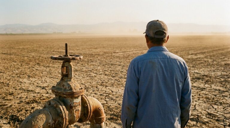
For ranchers and farmers in the Southwest and southern Plains, a wet winter could ease drought that has hung on in parts of those regions. The outlook expects drought to improve there and across parts of the Southeast.
The opposite is true in parts of the northern Rockies, eastern Washington and northeastern Oregon, where drier conditions could allow drought to develop or worsen. A thin mountain snowpack in those areas matters well into next summer, when it feeds rivers and irrigation.
In the South, more rain can mean more flooding on low roads and soggy fields that delay winter work. In the North, a milder winter can mean less snow to plow and lower heating bills, but also more freeze and thaw cycles, which are hard on rural roads and produce potholes.
What the outlook does not tell you
This is a forecast of odds, not a prediction of specific storms. A winter that leans warm overall can still bring a hard cold snap or a major blizzard. A region with equal chances is not expected to have an average winter. It simply means the forecasters do not see a strong signal either way.
The outlook also does not forecast snowfall totals. Snow depends on the timing of individual storms, which cannot be predicted months ahead.
The practical advice does not change with the outlook. Have the furnace serviced, keep a winter kit in the car, and pay attention to the seven-day forecast from your local National Weather Service office, which is far more reliable than any seasonal outlook for planning a trip or a job.
The Climate Prediction Center updates its outlook monthly. The next update is scheduled for November 19.